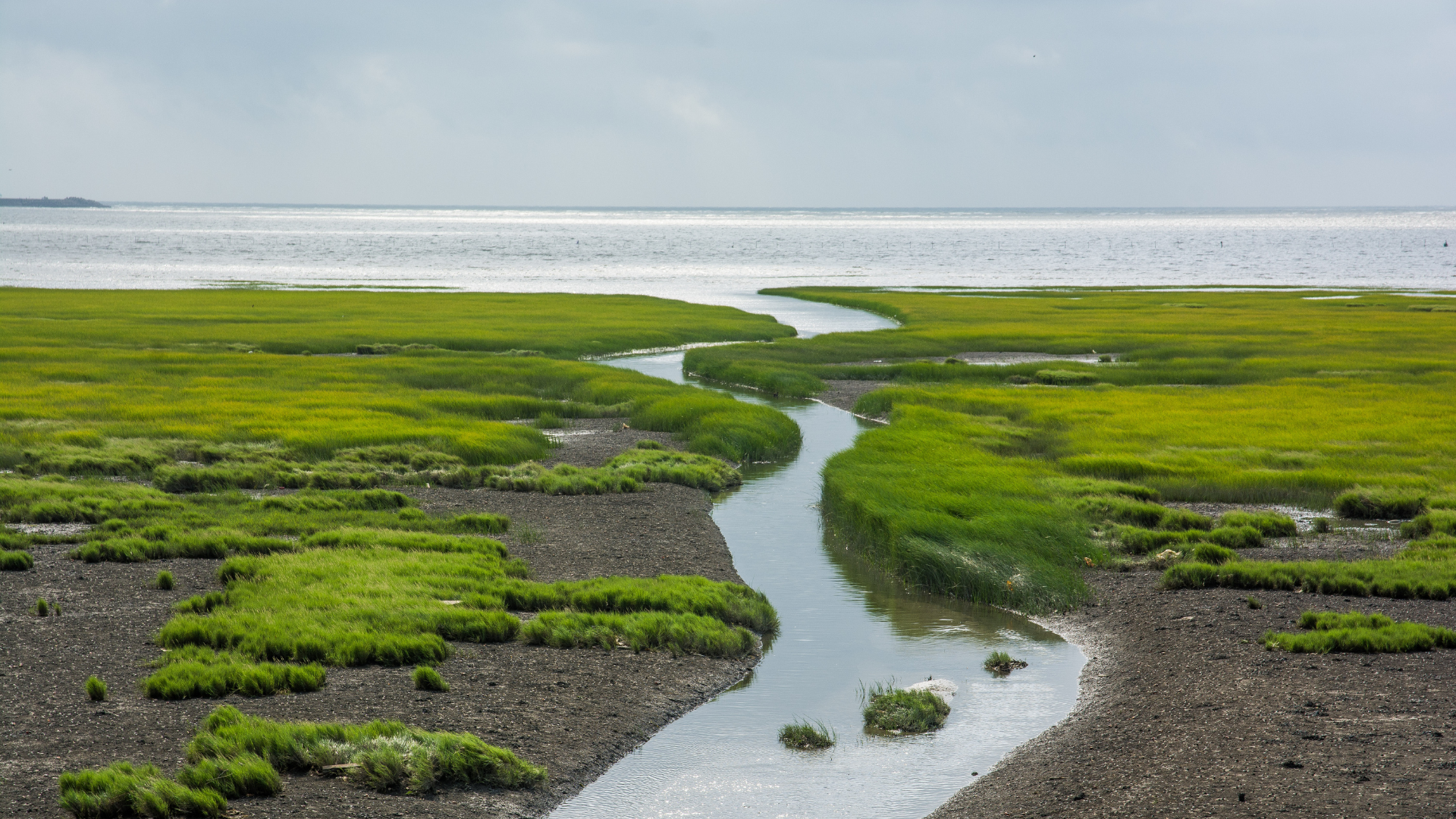
Coastal areas face unprecedented threats from rising sea levels, saltwater intrusion, and extreme weather events. Growbud's Coastal Health Monitoring System combines precise volumetric water content (VWC) and electrical conductivity (EC) measurements to detect subtle changes in coastal soil composition, vegetation health, and saltwater intrusion patterns.
Coastal Monitoring Architecture
Salt-resistant probes with high-precision EC and water content monitoring at multiple locations.
IP67-rated LoRaWAN concentrator with solar power and satellite connectivity for remote coastlines.
ML-powered analytics for saltwater intrusion prediction, vegetation stress assessment, and erosion risk mapping.
Strategic Deployment
Coastal monitoring networks are typically arranged in transects perpendicular to the shoreline, capturing the gradual transition from marine to terrestrial environments. Each transect includes 6-12 sensor nodes spaced to capture the salt gradient, vegetation zones, and groundwater dynamics. The Dro sensors come in 15 and 30 cm variants, providing a three-dimensional understanding of subsurface processes.
Coastal Hardware Specifications
Marine-grade monitoring technology
Dro Soil Sensor
- VWC range 0-100 % ± 2%
- Temperature -10°C - 60°C ± 0.5°C
- Salinity and EC range 0-10 dS m⁻¹
- LoRaWAN Class A, 20 dBm TX
- IP68 enclosure; 1 year battery life
LoRaWAN Gateway
- Semtech SX1302, 8-channel, -137 dBm
- LTE-M / Ethernet with automatic failover
- 50 W mono-crystalline PV + 20 Ah battery
- GNSS time sync & asset tracking
- NEMA-4X aluminum enclosure
Coastal Health Analytics
The Growbud Coastal Insights platform transforms raw sensor data into actionable intelligence for coastal management. By analyzing EC trends, water content fluctuations, and their correlation with tidal patterns and weather events, the system provides early detection of saltwater intrusion, vegetation stress, and erosion risks. The platform creates detailed salinity gradient maps that help visualize the boundary between fresh and saltwater in the coastal soil profile. These insights enable timely intervention to protect fragile ecosystems and infrastructure.
Impact & Benefits
Early Warning
Detect saltwater intrusion weeks before visible vegetation impacts occur.
Ecosystem Restoration
Guide species selection and planting strategies based on precise salinity mapping.
Infrastructure Protection
Protect coastal infrastructure by anticipating and mitigating erosion and subsidence.

